Log in
All resources
Create a design
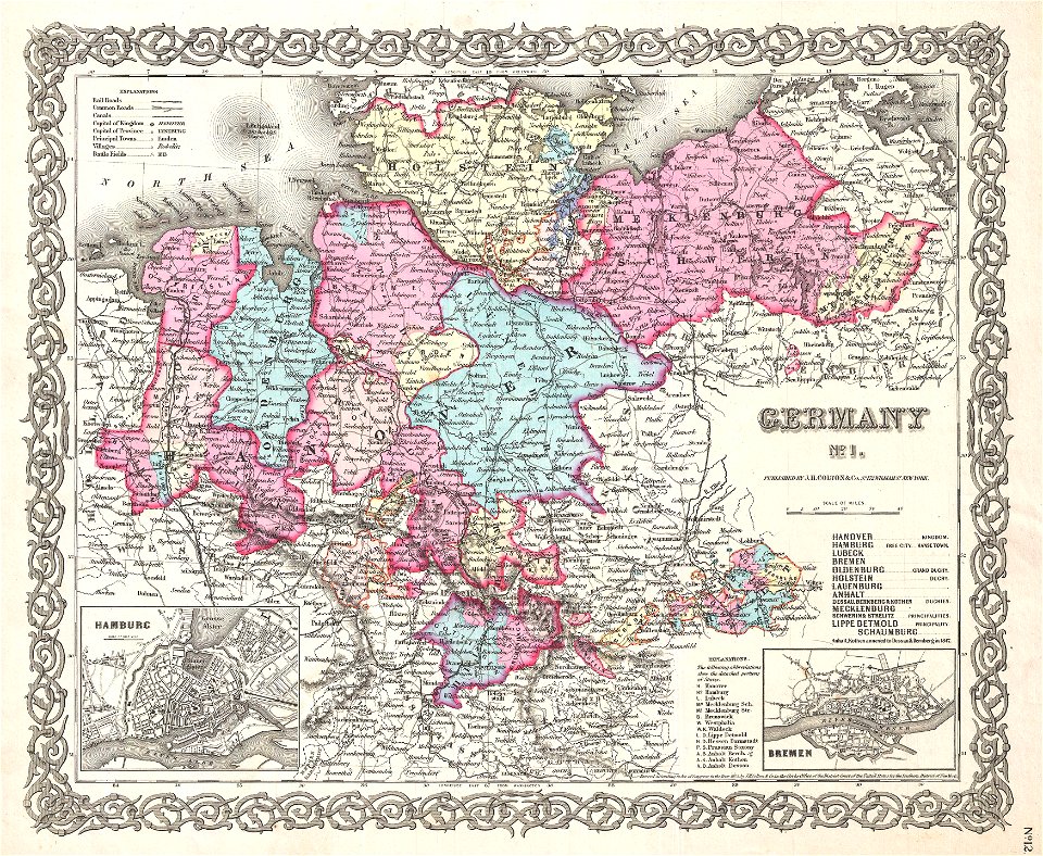
5 Free Images of 19th Century Maps Of Schleswig Holstein
19th-century maps of lower saxony
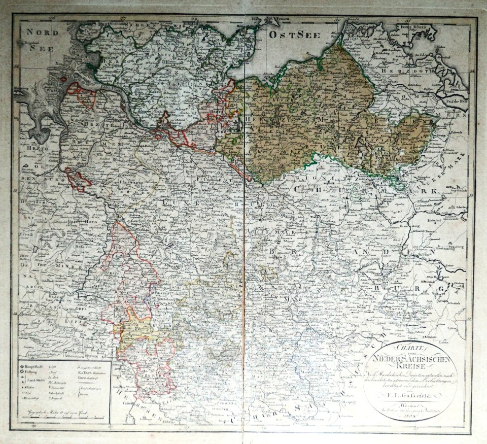
maps of territories in the lower saxony circle
1800s maps of schleswig-holstein
maps of the elbe
alster (river)
19th-century maps of lower saxony
old maps of mecklenburg
maps of territories in the lower saxony circle
19th-century maps of lower saxony
maps, prints and photographs in royal danish library
old maps of kiel
maps of territories in the lower saxony circle
maps by john cary
1 - 5 of 5
/ 1